
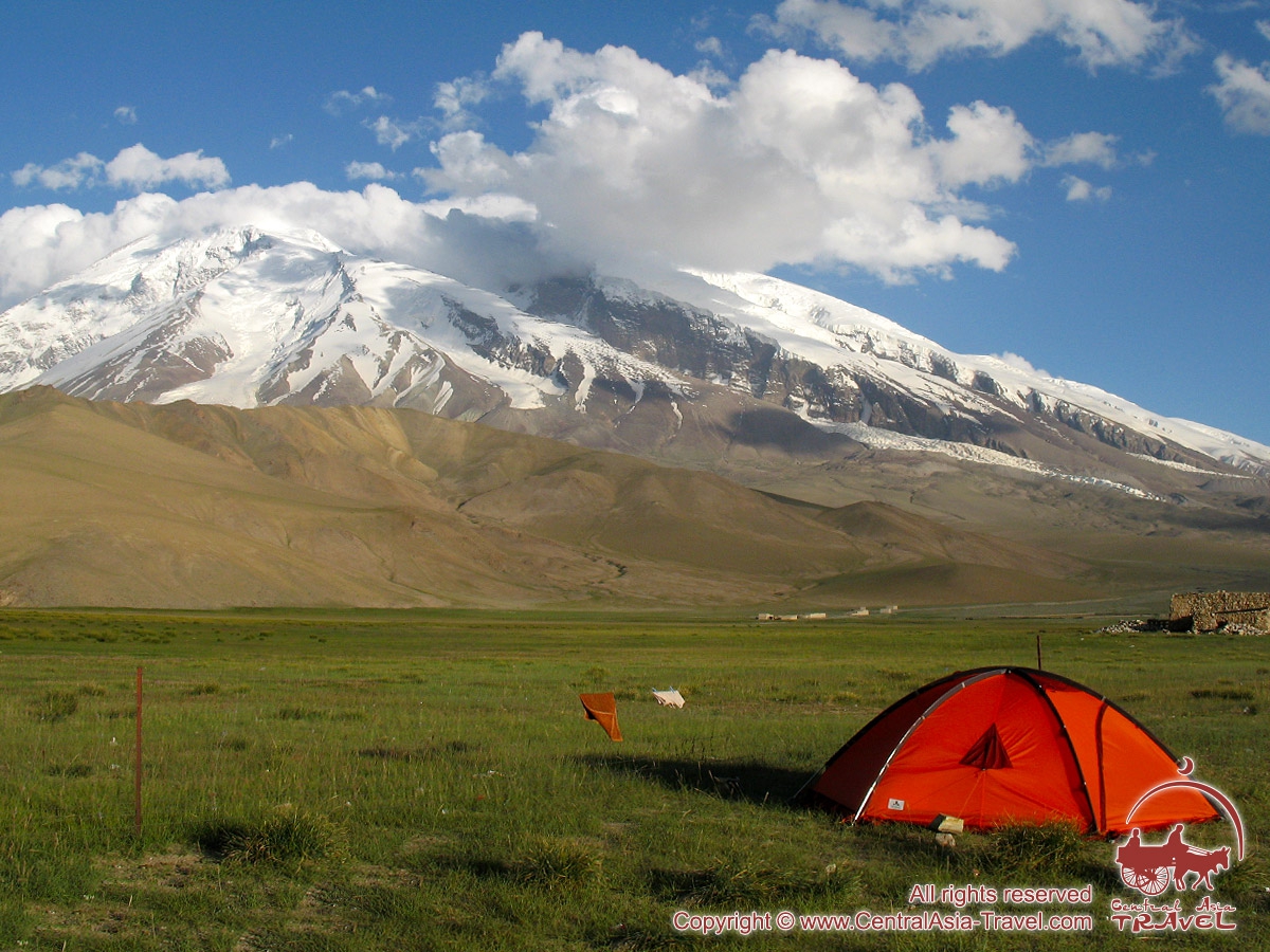
Muztagh-Ata Peak
| Country of destination: | China, Pamir Mountains | View the route map »» |
| Tour itinerary, cities: | Kashgar - Subashi - Base camp - Subashi - Kashgar | |
| Tour duration: | 19 - 22 days | |
| Best time to travel: | June - August | |

In the recent years Muztagh Ata (7546 m) is becoming more and more popular peak among both local and foreign alpinists due to the uniqueness of the region, its accessibility, relatively low expedition costs and availability of voluminous information on it.
The eastern boundary of the Pamir uplands - the Kunlun Mountains - is a giant ice barrier, which separates the Pamirs from the greatest desert of Central Asia - Taklamakan. Here the Pamir uplands step forth to the east and, thus, this vast eastern “bridgehead” of the “Roof of the world” is restricted by the Kunlun Mountains’ range from the north-east and by Muztagh Ata from the east. The ranges of Muztagh Ata and Kunlun contain three highest peaks of the Pamirs - Kongur Tagh (Kongur-1), which is 7719 m high, Kongur Tube Tagh (Kongur-2), which is 7595 m high and Muztagh Ata (7546 m).
The Muztagh Ata Peak (translated from Turkish it means the “Father of Ice Mountain”) is situated at the territory of north-west China. The western mountainside gently slopes down and turns into a flat plain - Subashi “glade”, which is crossed from north to south by the famous Karakoram highway (Kashgar-Tashkurgan-Gilgit). The glaciers of Muztagh Ata are no more than 10 km away from the road.
The Muztagh Ata Peak (translated from Turkish it means the “Father of Ice Mountain”) is situated at the territory of north-west China. The western mountainside gently slopes down and turns into a flat plain - Subashi “glade”, which is crossed from north to south by the famous Karakoram highway (Kashgar-Tashkurgan-Gilgit). The glaciers of Muztagh Ata are no more than 10 km away from the road.
The first ascension to Muztagh Ata was performed in 1956 and the route was passing along the southernmost of its western ridges. That time joint Soviet-Chinese expedition under the direction of Beletskiy E. A. and Kuzmin K. K. was working here. 31 alpinists climbed the peak then (19 Russian and 12 Chinese).
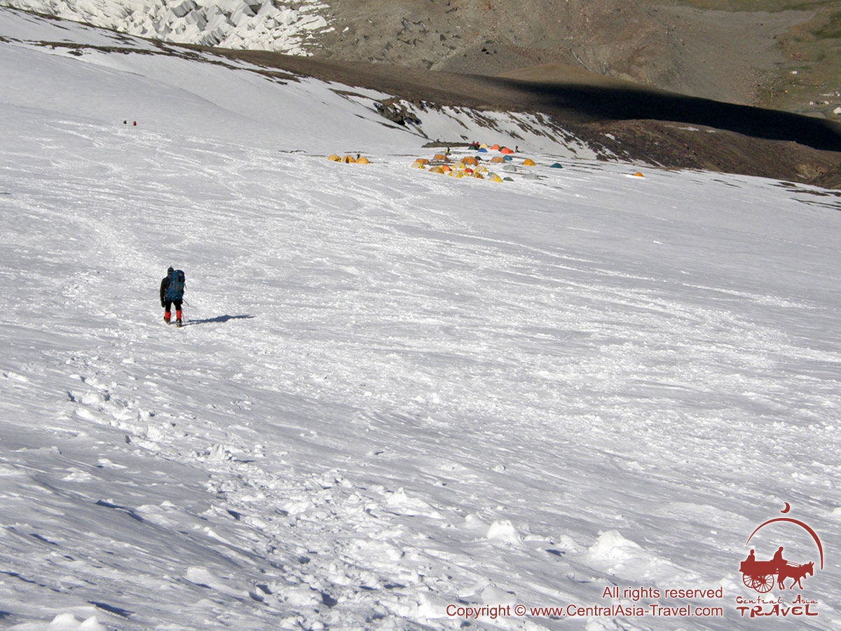
In the centre of the western mountainside of the peak there is a giant hollow. Ice falls into the hollow and, thus, it “feeds” the Qortomak glacier, which is streaming down. Therefore, to the left and to the right of the hollow there are two “classic” routes to the peak: Northern and Southern ones. At the moment the south slope route is the most safe and popular. The route of ascension is not technically difficult; however, such critical factors as unpredictable weather and a long time you have to stay on high altitude are of great importance for success or failure of your expedition. In order to achieve your goal except good physical conditions and necessary mountaineering equipment you must ensure correct acclimatization. At present Muztagh Ata region is visited by more than 600 climbers annually, and many of them consider this peak as the excellent skiing destination.
If you want to climb to the Muztagh Ata peak, the closest city to the Base Camp is Kashgar.
We offer two service packages via Kashgar:
1) Fixed departure via the traditional west ridge climbing route for an international group with a full package of services, including set-up high camps and experienced climbing guides' support. There are four set up camps at Muztagh Ata Peak provided by Group package - base camp BC (4400m), C1 (5400m), C2 (6200m) and C3 (6850m), all 4 camps are built on the flat snow place.2) Fixed departures for self-guided climbing without services in high camps, either via the southern side (New Route) or the traditional west ridge route.
- GUIDED GROUP
- Individual
- Itinerary /
Services & Cost - Important information.
Route Map - Ascension strategy.
Equipment, Medical chest
| Guided group tour to Muztagh Ata Peak via Traditional West Ridge (Western Side Classic Route) | |
| Day 1 | Kashgar, Xinjiang. China. Arrival to Kashgar. Meeting at the airport. Transfer to the hotel. |
| Day 2 | Kashgar - Subashi. Driving from Kashgar to 204 town (Subashi village) along the Karakoram highway (approx. 200 km, 5 hrs.) stay in 204 town. Upon arrival accommodation at the guest house. |
| Day 3 | Subashi (3600 m) - Muztagh Ata Base Camp (4400 m). Rest day at Muztagh Ata Base Camp. |
| Day 4 | Muztagh Ata Base Camp (4400 m) Today we continue our acclimatization walks around Muztagh Ata Base Camp. Those who go in for bouldering will have a great opportunity to train as there are many boulders around the Base Camp. |
| Day 5 | Base Camp (4400 m) - ABC/Camp 1 (5400m) - Base Camp (4400 m). Today you will ascent to ABC/C1 (5400 m). The main section from BC to C1 is the gravel slope trail, a small amount of snow section, the slope is 15-25 degrees, and it usually takes 3-4 hours. After arriving at Camp 1, you will descend back to Base Camp. |
| Day 6 | Rest Day in Base Camp (4400m). |
| Day 7 | Base Camp - Camp 1 (5400m). We will follow the same path as before, climbing from Base Camp (4400 m) to Camp 1 (5400 m). Overnight in Camp 1. |
| Day 8 | Camp 1 (5400 m) - Camp 2 (6200 m). Today you will ascent from Camp 1 (5400 m) to Camp 2 (6200 m). You should be very careful because there are many visible and invisible crevasses in the section between 5700 and 5900m. Sometimes there are quite steep snow and ice walls along the trail. The picturesque views of the valley and Karakoram Highway will leave no one indifferent. Travel time: 5-7 hours. |
| Day 9 | Descent to Base Camp (4400m). |
| Day 10 | Rest Day in Base Camp (4400m). |
| Day 11 | Rest Day in Base Camp (4400m) |
| Day 12 | Ascent to Camp 1 (5400 m) |
| Day 13 | Ascent to Camp 2 (6200 m) |
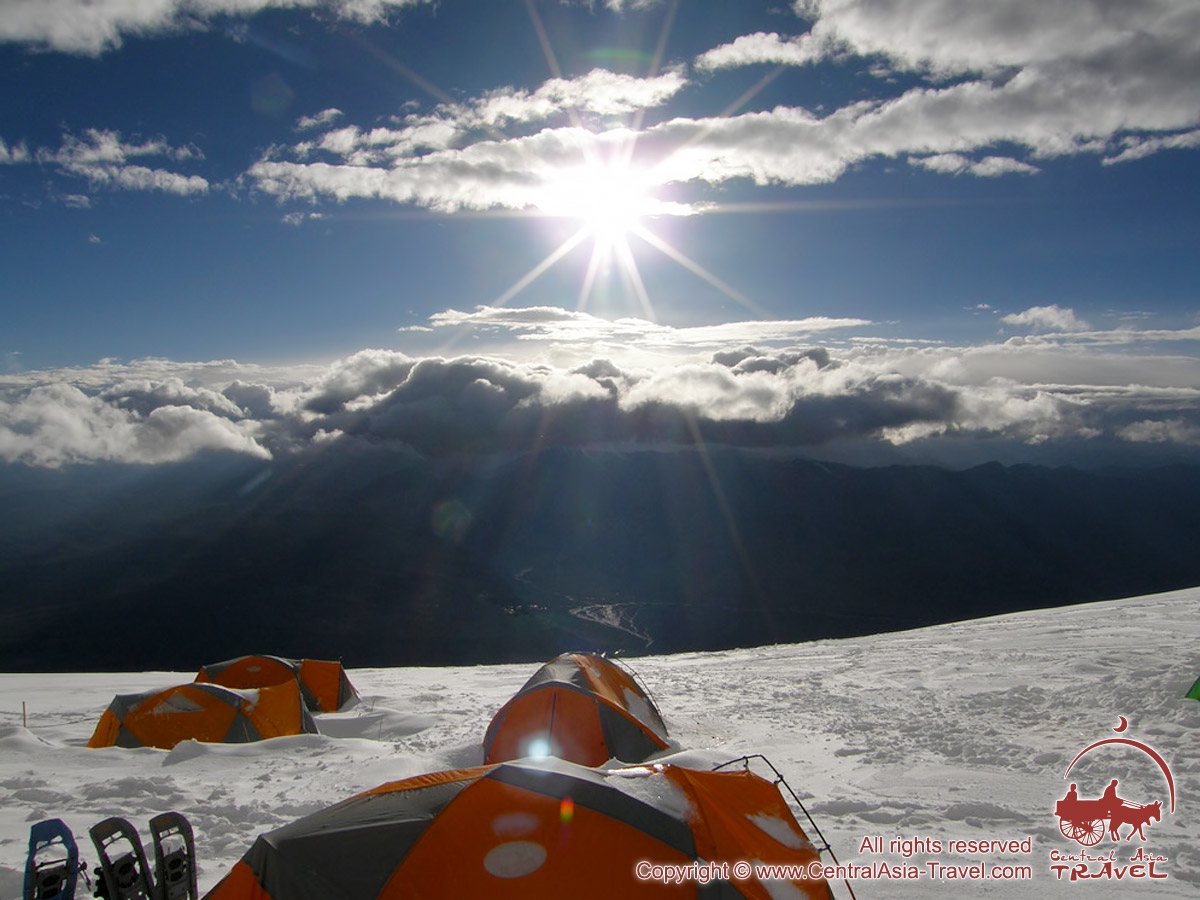
| Day 14 | Ascent to Camp 3 (6850 m). The route from Camp 2 to Camp 3 is over a wide snow and ice ridge. At the beginning of the route, there are some hidden crevasses. The section from C2 to C3 requires snowshoes or snowboards. Between altitudes of 6500m and 6800m there is a large snow slope with an average slope of 30 degrees. Travel time: 5-8 hours. |
| Day 15 | Camp 3 (6850 m) - The Peak Muztagh Ata (7546 m) - Camp 2 (6200 m). We start the summit push in the early morning. The ascent to the peak is a wide and gentle snowy ridge, the route is marked with flags. The section from C3 is the slope of 15-25 degrees, which requires a particularly long walking. The highest point - Muztagh Ata peak is a small “island” of black rocks. After the summit, descent to Camp 2 for overnight stay. |
| Day 16 | Descent to Base Camp (4400m). |
| Day 17 | Base Camp - Subashi - Kashgar. In the morning, we will put the luggage onto the camels and start hiking without any luggage, heading towards 204 town (Subashi village), enjoying the beautiful surroundings. In 204 town the transport is waiting for us to transfer us back to civilization towards evening. Then we’ll proceed to Kashgar. Upon arrival accommodation at the cozy hotel. Overnight at a hotel in Kashgar. |
| Day 18 | Reserve day. Reserve day for bad weather. |
| Day 19 | Kashgar. Departure. Transfer to Kashgar airport. |
The cost includes:
- Climbing Permit
- All necessary documents, government taxes and eco protection fee
- Mountain guide service at 1 guide serves 3 members
- High mountain food
- Accommodation:
- 2 nights in Kashgar (3/4star hotel, Twin Room),
- 1 night in 204 Town (Subashi village) (Twin Room or Dorm.Bed)
- set up tents in Base Camp (maximum 10 nights)
- set up high-altitude tents in C1 C2 C3
- Food: Meals in Base Camp, C1, C2 and C3 as itinerary dates
- The transportation between Kashgar and 204 town (Subashi village)
- Baggage transportation by jeep between 204 Town (Subashi village) and Base Camp (40kg/pax limit)
- Base Camp facility (WC, shower, store tent, electricity, roof tents, camping tents)
- Summit certificate
The cost does not include:
- Flight tickets
- China Tourist Visa
- Mountaineering expedition insurance
- Summit bonus (4000CNY)
- Meals and extra nights hotel and extra nights in BC
- Porter service (approximately BC-C1:100CNY/kg,C1-C2:200CNY/kg,C2-C3:400CNY/kg at single way)
- Personal Expenses: Telephone, SIM card Internet, Laundry, any Alcoholic beverages, Personal Trekking /Climbing Gears
- Any other item not listed in “Price Includes” section
Additional services:
- Snowshoes using in the climbing: 600CNY
- Down suits renting price: 2000CNY for Kailas 8000m down suits
- Mountain boots renting price: 1500CNY for Kailas 8000m mountain boots
- Oxygen: 4L oxygen cylinder 6000CNY/bottle, high mountain transportation cost 2000CNY/bottle
Important information
- Attention please! Ascent to the summit of Muztagh-Ata peak belongs to category of extreme kinds of activities! Each member completely responds for his decision of participation in this program, and he is responsible for all his actions and all possible consequences of his participation in this extreme program.
- «Central Asia Travel» Company does not respond for actions of members as well as for consequences of their actions which took place out of territory of Base Camp.
- Before leaving of area boundaries of camps Base Camp each member for own safety purposes has to inform Commandant about destination of the route and planned time of being ther. Only under this condition rescue team is able to start searching of member promptly in case the member does not come to the point exposed by him at the time exposed by him.
- Insurance is an obligatory thing. It is needed for that unexpected accidental case, about which we usually try not to thing before departure. But the common sense should never leave our mind and take care of the insurance in order on the downhill you could feel really secured. Because, as you know, services of rescuers and transportation cost quite a lot. Insurance policy must be issued for a sum of 30.000 USD, not less. And you have to get it in your own country, before the expedition begins.
- In case member decides to finish his program earlier, then Company does not return him money for not used days in Base Camp, besides, member should pay additionally for transport from Base Camp to Bishkek as well as for accommodation and meal in cities.
- Program is going to be run only at gathering the group of not less then 10 members; if the group is not gathered then Company reserves the right to cancel the program or postpone dates of running.

Route Map

Tactic of ascent to Muztagh-Ata Peak
Organisationally, the ascent to the summit requires usage of three interim high-altitude camps.

Section 1: Uphill from BC (4350m) to the camp 1 (5350 m).
Uphill from BC on the steep stony slope to get to the glacier. In a certain while spine-shattering panoramic view opens up for you: pastures, hills and deserts afar, Karakol Lake - "purl of mountains" - and a snow-white massif of Kongur. On the stretch between BC and Camp 1 highly advisable is usage of pack animals. All loads above Camp 1 are transported by expedition members themselves - the factor acting in favour of earlier and full acclimatisation which, in turn, considerably improves your chances for successful ascension.
Section 2: Uphill from camp 1 (5350 m) to the camp 2 (6000 m).
From Camp 1 track gradually goes up on the snow-, partly ice-covered slope over and across multiple crevasses towards small levelling stretch of the glacier. This is most steep part of the entire route. White snow and ice around are in striking contrast with recent views of green and brown pastures below. The track then gradually takes to the small shelf on the glacier where Camp 2 (6,200m) is set. Perhaps, it would require you some shuttling between Camp 1(C-1) and Camp 2 (C-2,) for 2-3 times till you take all your gear up to the Camp 2. This “exercise” would perfect physical conditions of your body and simultaneously give excellent opportunity of ski down to the C-1 with your backpack light and nearly empty. On the top part of moraine you can organize the camp wherever you would like to. You should put attention to the level of acclimatization of the participants, quantity of their luggage and the medium speed of the ascent.
Section 3: Uphill from camp 2 (6200 m) to the camp 3 (6800 m).
The route runs by a simple but very steep, snowy fields. There is a big expanse for using skis and snowshoes in an ascent. But you should not forget about safety as there are a lot of clefts and you should use the safety engineering.
Section 4: Uphill from camp 3 (6800 m) to the Mustag-Ata peak (7546 m).
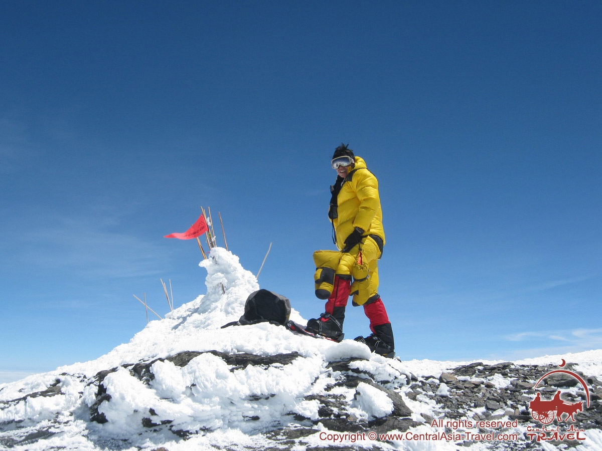
The path to the summit is quite straightforward. From altitude 6800 m till 7400 m the slope gradually levels becoming more and more flat. Then a short upswing follows and - there you are! -the rocky apex is seen. That is it - you are standing on the top of Muztagh-Ata Peak (7546 m)! Congratulations! Have a look around and enjoy the view. The bottomless precipice to the east is the abrupt, sheer Eastern Face. Mind-boggling panorama in front of you shows endless plains of Central Asia, White mountain chain of the Kongur Range and highest peaks of Pamir. If the day is clear you may even see for famous Karakorum Range.
Do not stay on the summit for long as time flies and the sun may start setting or weather changing before you get back to C-3.
Personal and group equipment for expedition to the Muztagh-Ata Peak
| Items: | Unit measure | Quantity | Notes | |
| 1 | Track shoes | pair | 1 | - |
| 2 | Shoes for the high attitude roads | pair | 1 | - |
| 3 | Assault jacket GOR-TEX | piece | 1 | - |
| 4 | Assault trousers GOR-TEX | piece | 1 | - |
| 5 | Downy jacket | piece | 1 | - |
| 6 | Bib and brace overalls GOR-TEX | piece | 1 | - |
| 7 | Downy sleeping bag | piece | 1 | - |
| 8 | Suit WINBLOCK or POLAR | piece | 1 | - |
| 9 | Worn next to the skin linen POLAR or WINDBLOCK | piece | 2 | - |
| 10 | Mittens for the high attitude ascents | pair | 1 | - |
| 11 | Gloves | pair | 2 | - |
| 12 | Peaked worm cap or hat | piece | 1 | - |
| 13 | Flasks | - | - | - |
| 14 | Socks-POLAR | pair | 3 | - |
| 15 | Metallic vacuum flask 0.5-1.0 litre | piece | 1 | - |
| 16 | Mat "KARIMAT" | piece | 1 | - |
| 17 | Rucksack for ascent 70-80 | piece | 1 | - |
| 18 | Clumps-right and left | piece | 1 | - |
| 19 | Belay arrangement “figure of 8 knot” | piece | 1 | - |
| 20 | Necking-belay system | complete set | 1 | - |
| 21 | Carabin with muff | piece | 2-3 | - |
| 22 | Snow shovel | piece | 1 | - |
| 23 | Hygienic lip-stick | piece | 1 | - |
| 24 | Solar control cream | piece | 1 | - |
| 25 | Transport trunk | piece | 1 | - |
| 26 | Pen knife | piece | 1 | - |
| 27 | Crampons | pair | 1 | - |
| 28 | Ice-axe | piece | 1 | - |
| 29 | Snow goggles | piece | 1 | - |
| 30 | Telescopic stick | pair | 1 | - |
| 31 | Head torch | piece | 1 | - |
| 32 | Rope (nylon) 25-30 m | piece | 1 | - |
| 33 | Tent 2-3 m | piece | 1 | for 2-3 person |
| 34 | Gas stove | piece | 1 | for 2-3 person |
| 35 | Gas cylinder (230 ml.) | piece | 1 | for 2-3 person |
| 36 | Dishes | complete set | 1 | for 2-3 person |
| 37 | Radio station metric waves | complete set | 1 | for 2-3 person |
| 38 | First-aid kit | complete set | 1 | for 2-3 person |
Medical chest of the climbers
| The list of medicaments that are used during the climbing to the Muztagh-Ata Peak | Quantity |
| Dekamevit (vitamins) | pills |
| Methionine (amino acid to master fat and proteins) | pills |
| Glutamic acid (that is necessary for your brain normal functioning on height) | pills |
| Ascorutine acid (vitamins) | pills |
| Nifidepine (edema of the lungs) | pills |
| Asparkam (for the improvement of heart muscles) | pills |
| Dexamethasone (edema of the brain) | inj. By 1 ml. |
| Dexamethasone | pills |
| Azetozolamide (prevention of mountain diseases) | pills |
| Ascorbic acid (vitamin C) | pills |
| Trental (widen peripheral vessels against frostbite) | pills, 2 inj. By 5 ml. |
| Riboksin (to improve one’s heart/liver function) | pills |
| Ksantinola nicotine (widen peripheral vessels against frostbite) | pills,inj by 2ml. |
| Potassium (vitamin B 12, antistrophic, normalize heart/liver function, circulation of capillary) | pills |
| Furosemide (diuretic) | pills |
| Aminophuline (stimulant never used) | pills |
| Sulphokamokaine (breathe/heart stimulant) | inj. By 2 ml. |
| Ferramine-vita (or any other iron preparation) | pills |
| Verospirone (diuretic) | pills |
- Itinerary /
Services & Cost - Important information.
Route Map - Ascension strategy.
Equipment, Medical chest
| Program of the tour for the ascent to the Muztagh-Ata Peak: | |
| Day 1 | Bishkek - Balykchy - Naryn. Arrival to Bishkek. Meeting at the airport. During your first travel day you will accomplish a transfer along the Bishkek - Balykchy - Naryn route. This part of the road passes by picturesque mountain landscapes, through beyond-the-clouds passes, along fast-flowing rivers and amazingly beautiful Kyrgyz lake Issyk-Kul. Upon arrival to Naryn you will be accommodated in a guest house or a yurt camp. |
| Day 2 | Naryn - Torugart - Kashgar. Today Naryn - Torugart (Kyrgyz-Chinese border, 3752 m) transfer is planned for you early in the morning. The road passes through the At-Bashi valley, where quite often part of the landscape is the flocks of yaks. Besides, you way is passing along the scenic lake Chatyr-Kul (3500 m) and the mineral spring famous with its medicinal characteristics. Transition to China via Kyrgyz-Chinese border point Torugart. Customs procedures. Transfer to Kashgar. Hotel 3* check-in. |
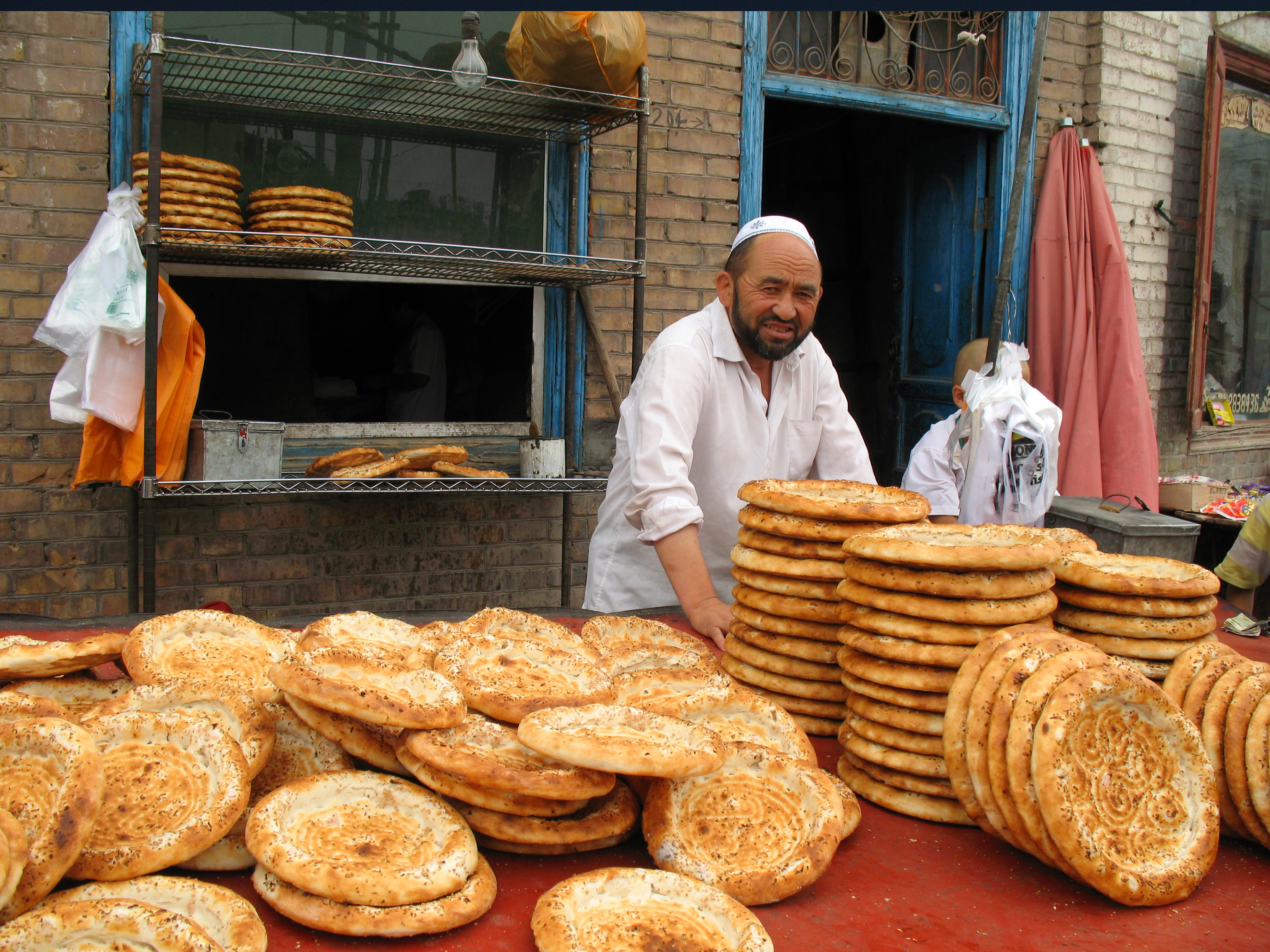
| Day 3 | Kashgar - Subashi. Today active rest lovers and extreme seekers will be transferred from Kashgarа to Subashi village along the Karakoram highway (approx. 200 km, 5 hrs.). Despite a long transfer time you won’t be bored as there are a lot of things to look at: the route is quite beautiful as it passes through the narrow picturesque gorge of the Gez river. In a while we will cross a conditional border where Kunlun and Pamir mountain systems are said to join. Certainly, you will have meal while on the way. For lunch you will taste perfect Uyghur laghman and excellent “tandyr kabob” (which is shashlyk cooked in a closed national-type clay oven). Upon arrival to Subashi you will be accommodated in either tents or yurts. Food: full boarding. |
| Day 4 | Subashi (3600 m) - Muztagh Ata Base Camp (4450 m). After early breakfast we head to Muztagh Ata Base Camp. Don’t worry that you have a lot of luggage of a considerable weight as you don’t have to transport it by yourself. At our starting point in Subashi you will be provided with camels to carry the luggage. So, don’t forget to take a picture of our “caravan” and then move forward. Passage from Subashi to the Base Camp with take approx. 4 hrs. The most suitable shoes for this part of the route are running shoes or light hiking boots as the route is quite simple and do not require any special physical preparation. In 4 hours we will see Muztagh Ata Base Camp at last. Base Camp is located on a quite wide picturesque glade under the moraine terrace not far from the starting point of the ascension route. In Muztagh Ata Base Camp you are guaranteed to have three hot meals a day. Also there are shower tent and field-type toilets there. The territory of the Base Camp has mobile phone network coverage, thus you will be able to connect to the world. However, there is no internet connection. Connection between upper Camps and the Base Camp is carried out using walkie-talkies. The only thing you must remember - there is no possibility to rent either walkie-talkies, or gas-tanks and whatever else equipment you need in the Base Camp. Therefore, all issues concerning the rent of equipment and gas-tanks purchase have to be discussed and settled down beforehand, during the correspondence process. |
| Day 5 | Muztagh Ata Base Camp. Rest day in Muztagh Ata Base Camp. Today you will be able to take a look at the location and acclimatize. We advice you to spent this day actively. For better acclimatization, acquaintance with the locals and their life style and possible purchase of quite tasty yak milk we advice you to go down to a small village seen from the Base Camp. |
| Day 6 | Muztagh Ata Base Camp. Today we continue our acclimatization walks around Muztagh Ata Base Camp. Those who go in for bouldering will have a great opportunity to train as there are many boulders around the Base Camp. |
| Day 7 | Muztagh Ata Base Camp (4450 m) - Camp 1 (5350 m). After some rest and passive acclimatization we are ready to ascent to Camp 3. In order to accomplish the ascent to the peak we have to use the system of 3 high-altitude camps. So, let’s start! Today you will ascent from Muztagh Ata Base Camp (4450 m) to Camp 1 (5350 m). There is a good trail along the ridge of the rocky mountainside to ascent. Usually there is no snow at the mountainside (up to 5000 m), thus, it is possible to wear trekking shoes for this part of the route. Camp 1 is situated in a snowy zone open to winds, therefore, it would be better to dig the tents around and to put a snow wall around as well. It will prevent your tent from being damaged or blown away. Overnight in Camp 1 for better acclimatization. |
| Day 8 | Camp 1 - Base Camp. Descent from Camp 1 (5350 m) back to the Base Camp (4450 m). |
| Day 9 | Base Camp - Camp 1. Along the familiar path we ascent from the Base Camp (4450 m) to Camp 1 (5350 m). Overnight in Camp 1. |
| Day 10 | Camp 1 (5200 m) - Camp 2 (6200 m). Today we are in for the ascent from Camp 1 (5200 m) to Camp 2 (6200 m). Distinctive feature of this part of the route is walking through the icefall. There are many visible and invisible crevasses in the icefall. They are usually well marked, but early in the season and after a fresh snow fall, be very careful. Sometimes there are quite steep snow and ice walls along the trail. We recommend you to take ascenders, snowshoes and crampons. Picturesque views of the valley and the Karakoram highway won’t leave anyone indifferent. |
| Day 11 | Camp 2 (6200 m) - Camp 3 (6800 m). Ascent from Camp 2 (6200 m) to Camp 3 (6800 m). This part is a wide snow and ice ridge. In the beginning of the route there are some hidden crevasses. General direction of our passage is to the north-east. Here it is better not to deviate to the left of the ridge as it can be dangerous. |
| Day 12 | Camp 3 (6800 m) - Base Camp (4450 m). Descent from Camp 3 (6800 m) to the Base Camp (4450 m). |
| Day 13 | Base Camp. This is a rest day. Today you can visit ancient city of Tashkurgan for a city-tour. It is a beautiful and colorful place. The city has got more than 3 thousand year long history. Distance from Muztagh Ata Base Camp to Tashkurgan is about 90 km. Another 10 km forward and you are in the valley of the hot mineral springs, where you can enjoy bathing in a natural “Jacuzzi”. This pleasure will cost you 80$ per person (for the group of no less than 4 people). |
| Day 14 | Base Camp - Camp 1. Ascent from Base Camp (4450 m) to Camp 1 (5350 m). |
| Day 15 | Camp 1 - Camp 2. Ascent from Camp 1 (5350 m) to Camp 2 (6200 m). |
| Day 16 | Camp 2 - Camp 3. Ascent from Camp 2 (6200 m) to Camp 3 (6800 m). |
| Day 17 | Camp 3 (6800 m) - The Peak Muztagh Ata (7546 m) - Camp 2 (6200 m). Today you are about to accomplish the ascent to the peak, that is to reach the ultimate goal of you coming to Muztagh Ata! So, we have an early morning today as the peak is waiting for us! We start at 5-6 in the morning. The ascent to the peak is done through a wide and gentle snowy ridge. Here you will feel the altitude. And it’s a real luck that we didn’t forget to take with us our snowshoes and skis! And finally, here it is - the Peak! HURRAH!!!!!!!!!!!!! The entire Kunlun is at your feet!!!!!! The highest point - Muztagh Ata peak is a small “island” of black rocks; behind it steep slopes gradually go down to the north, towards the Koksel glacier. Useful hint: if there is bad weather and low visibility don’t risk without a need. In the end good alpinist is alive one! Anyway, you can reach the peak on the other day. Overnight in Camp 2. |
| Days 18-19 | Camp 2 - Base Camp. Descent from Camp 2 (6200 m) to Base Camp (4450 m). |
| Day 20 | Reserve day. Reserve day for bad weather. |
| Day 21 | Base Camp - Subashi - Kashgar. In the morning our drovers will organize you a camelcade, we’ll put the luggage onto the camels and start hiking with no luggage to Subashi enjoying wonderful surrounding views. In Subashi the transport is waiting for us to transfer us back to civilization towards evening. Then we’ll proceed to Kashgar, where we are accommodated at a cozy hotel. Overnight at a hotel 3* in Kashgar. |
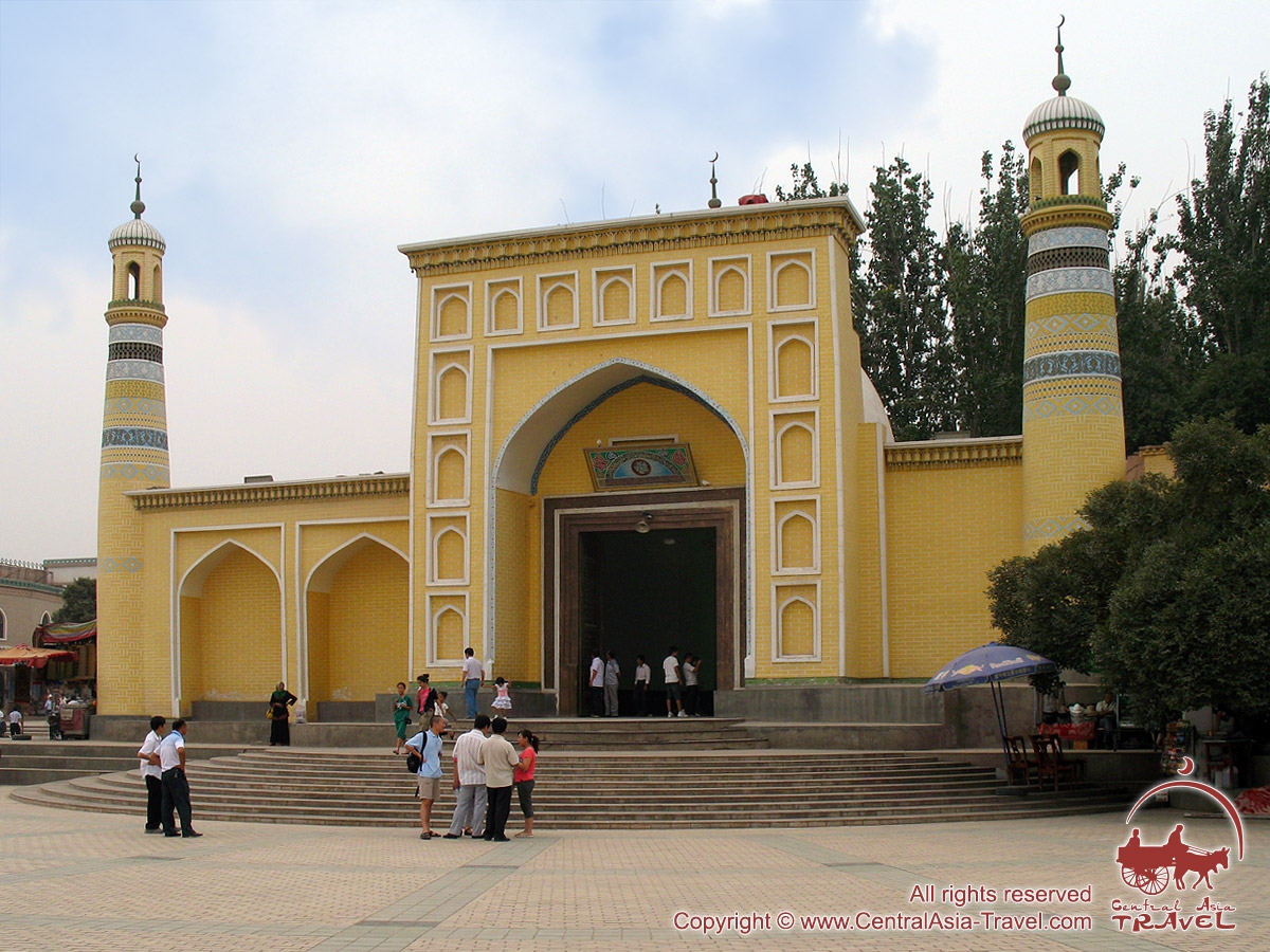
| Day 22 | Kashgar. Leisure time. Recommended basic facilities to visit in Kashgar are Kashgar bazaar and historical attractions. In addition to its convenient location at the crossroad of the Central Asian routes, Kashgar is interesting by itself as an ancient city of the Great Silk Road with a 2-thousand year history. The central part of Kashgar is occupied by the old city without any slightest suggestion of a regular city planning, which is full of narrow twisted street, numerous squares used as bazaars, brick or wattle and daub houses, and such dark and narrow back streets that only God knows where they lead to. It is recommended to visit the Id Kah Mosque, which is the heart of the city. Built in 1442 it is the largest in China. But don’t try to see something huge and high as from the first glance the dimensions of the mosque are not really astonishing. Well, there has never been a tradition to built mosques and minarets in Xinjiang. However, it is said that this mosque is of a great capacity: about 10 thousand people can get in at a time. Another prove of Kashgar’s antiquity is the remains of an ancient daub wall, which surrounded the city long ago. Its height is approximately 9 meters. Long ago one can get into the city only through a couple of gates made in the wall - River and Sand Gates (Suv-darvaza and Kum-darvaza respectively). Nowadays only the names of the streets remind of them. It is considered that for many centuries the role of Kashgar was the same - the city existing at the crossroad of civilizations and adsorbing their numerous influences from the day of its foundation was a huge bazaar where one could buy, sell or exchange whatever he/she had. In fact, the city has deserved its status. Overnight at a hotel 3* in Kashgar. |
| Day 23 | Kashgar - Torugart - Naryn. After breakfast you will be transferred to the Torugart pass - the Chinese-Kyrgyz border. After all formalities are accomplished we will continue further to Naryn. Accommodation in guest house or yurt camp. |
| Day 24 | Naryn - Bishkek. Naryn - Bishkek. Hotel check-in in Bishkek. |
| Day 25 | Bishkek. Departure. That’s all. Tomorrow you won’t have to think about the upcoming ascent looking at the charming peak and pack in a fever under the wind chilling to the marrow. Tomorrow your usual weekdays are to begin. However, there will be a new feeling there, a feeling which is always taking you back to everything you’ve got through, seen and felt this summer… |
The cost tour includes:
- Meeting/seeing off at the airport;
- All transfers according to the program;
- Arrangement of all needed documents including:
- Invitation letters and visa support;
- Registration in OVIR (Department of Visa and Registration);
- Ecological fees;
- Ascent permit;
- Accommodation in hotels and yurt camps according the program;
- Meals during transfers;
- Accommodation and meals in the Base Camp at the Muztagh Ata peak (not more than 10 days);
- Porter’s service and pack animals (camels) for transportation equipment and luggage from Subashi to Muztagh Ata Base Camp and back;
- Attendant guide from company (at the group from 10 persons);
- Base Camp services (4350 m):
- Accommodation in tents for two or three seats;
- Full Board of meals treatment (3 times of hot meals);
- WC, shower, store tent, electricity;
- Liaison officer in BC.
The cost tour does not include:
- Visa fees;
- Medical expenses and insurance;
- ICE fees (rescue team working, helicopter flights, medicines and medical service in hospital, drawing of supporting documents, repatriation);
- International airfare;
- Sightseeing program in Kashgar.
Additional services:
- Personal guide’s service during all period of active part - 4950 USD;
- Porter’s service - price is negotiated; approximate price:
BC - C1 - 5.5EURO/6USD per kilogram
C1 - C2 - 17EURO/18USD per kilogram
C2 - C3 - 28EURO/30USD per kilogram; - Rent of 1 high mountain tent - 150 USD, deposit 200 USD;
- Gas stove - 30 USD / 1 piece + 50 USD deposit;
- Gas can 230g (propane-butane) with screwed connection - 10 USD / 1 piece;
- Rope Ø8÷10mm, 30 - 50m - 25 USD / 1 piece + 25 USD deposit;
- Snowshoes (number is limited!) - 60 USD + 100 USD deposit.
- Set of high-altitude food - 200 USD.
Important information
- Attention please! Ascent to the summit of Muztagh-Ata peak belongs to category of extreme kinds of activities! Each member completely responds for his decision of participation in this program, and he is responsible for all his actions and all possible consequences of his participation in this extreme program.
- «Central Asia Travel» Company does not respond for actions of members as well as for consequences of their actions which took place out of territory of Base Camp.
- Before leaving of area boundaries of camps Base Camp each member for own safety purposes has to inform Commandant about destination of the route and planned time of being ther. Only under this condition rescue team is able to start searching of member promptly in case the member does not come to the point exposed by him at the time exposed by him.
- Insurance is an obligatory thing. It is needed for that unexpected accidental case, about which we usually try not to thing before departure. But the common sense should never leave our mind and take care of the insurance in order on the downhill you could feel really secured. Because, as you know, services of rescuers and transportation cost quite a lot. Insurance policy must be issued for a sum of 30.000 USD, not less. And you have to get it in your own country, before the expedition begins.
- In case member decides to finish his program earlier, then Company does not return him money for not used days in Base Camp, besides, member should pay additionally for transport from Base Camp to Bishkek as well as for accommodation and meal in cities.
- Program is going to be run only at gathering the group of not less then 10 members; if the group is not gathered then Company reserves the right to cancel the program or postpone dates of running.
Route Map
Tactic of ascent to Muztagh-Ata Peak
Organisationally, the ascent to the summit requires usage of three interim high-altitude camps.
Section 1: Uphill from BC (4350m) to the camp 1 (5350 m).
Uphill from BC on the steep stony slope to get to the glacier. In a certain while spine-shattering panoramic view opens up for you: pastures, hills and deserts afar, Karakol Lake - "purl of mountains" - and a snow-white massif of Kongur. On the stretch between BC and Camp 1 highly advisable is usage of pack animals. All loads above Camp 1 are transported by expedition members themselves - the factor acting in favour of earlier and full acclimatisation which, in turn, considerably improves your chances for successful ascension.
Section 2: Uphill from camp 1 (5350 m) to the camp 2 (6000 m).
From Camp 1 track gradually goes up on the snow-, partly ice-covered slope over and across multiple crevasses towards small levelling stretch of the glacier. This is most steep part of the entire route. White snow and ice around are in striking contrast with recent views of green and brown pastures below. The track then gradually takes to the small shelf on the glacier where Camp 2 (6,200m) is set. Perhaps, it would require you some shuttling between Camp 1(C-1) and Camp 2 (C-2,) for 2-3 times till you take all your gear up to the Camp 2. This “exercise” would perfect physical conditions of your body and simultaneously give excellent opportunity of ski down to the C-1 with your backpack light and nearly empty. On the top part of moraine you can organize the camp wherever you would like to. You should put attention to the level of acclimatization of the participants, quantity of their luggage and the medium speed of the ascent.
Section 3: Uphill from camp 2 (6200 m) to the camp 3 (6800 m).
The route runs by a simple but very steep, snowy fields. There is a big expanse for using skis and snowshoes in an ascent. But you should not forget about safety as there are a lot of clefts and you should use the safety engineering.
Section 4: Uphill from camp 3 (6800 m) to the Mustag-Ata peak (7546 m).
The path to the summit is quite straightforward. From altitude 6800 m till 7400 m the slope gradually levels becoming more and more flat. Then a short upswing follows and - there you are! -the rocky apex is seen. That is it - you are standing on the top of Muztagh-Ata Peak (7546 m)! Congratulations! Have a look around and enjoy the view. The bottomless precipice to the east is the abrupt, sheer Eastern Face. Mind-boggling panorama in front of you shows endless plains of Central Asia, White mountain chain of the Kongur Range and highest peaks of Pamir. If the day is clear you may even see for famous Karakorum Range.
Do not stay on the summit for long as time flies and the sun may start setting or weather changing before you get back to C-3.
Personal and group equipment for expedition to the Muztagh-Ata Peak
| Items: | Unit measure | Quantity | Notes | |
| 1 | Track shoes | pair | 1 | - |
| 2 | Shoes for the high attitude roads | pair | 1 | - |
| 3 | Assault jacket GOR-TEX | piece | 1 | - |
| 4 | Assault trousers GOR-TEX | piece | 1 | - |
| 5 | Downy jacket | piece | 1 | - |
| 6 | Bib and brace overalls GOR-TEX | piece | 1 | - |
| 7 | Downy sleeping bag | piece | 1 | - |
| 8 | Suit WINBLOCK or POLAR | piece | 1 | - |
| 9 | Worn next to the skin linen POLAR or WINDBLOCK | piece | 2 | - |
| 10 | Mittens for the high attitude ascents | pair | 1 | - |
| 11 | Gloves | pair | 2 | - |
| 12 | Peaked worm cap or hat | piece | 1 | - |
| 13 | Flasks | - | - | - |
| 14 | Socks-POLAR | pair | 3 | - |
| 15 | Metallic vacuum flask 0.5-1.0 litre | piece | 1 | - |
| 16 | Mat "KARIMAT" | piece | 1 | - |
| 17 | Rucksack for ascent 70-80 | piece | 1 | - |
| 18 | Clumps-right and left | piece | 1 | - |
| 19 | Belay arrangement “figure of 8 knot” | piece | 1 | - |
| 20 | Necking-belay system | complete set | 1 | - |
| 21 | Carabin with muff | piece | 2-3 | - |
| 22 | Snow shovel | piece | 1 | - |
| 23 | Hygienic lip-stick | piece | 1 | - |
| 24 | Solar control cream | piece | 1 | - |
| 25 | Transport trunk | piece | 1 | - |
| 26 | Pen knife | piece | 1 | - |
| 27 | Crampons | pair | 1 | - |
| 28 | Ice-axe | piece | 1 | - |
| 29 | Snow goggles | piece | 1 | - |
| 30 | Telescopic stick | pair | 1 | - |
| 31 | Head torch | piece | 1 | - |
| 32 | Rope (nylon) 25-30 m | piece | 1 | - |
| 33 | Tent 2-3 m | piece | 1 | for 2-3 person |
| 34 | Gas stove | piece | 1 | for 2-3 person |
| 35 | Gas cylinder (230 ml.) | piece | 1 | for 2-3 person |
| 36 | Dishes | complete set | 1 | for 2-3 person |
| 37 | Radio station metric waves | complete set | 1 | for 2-3 person |
| 38 | First-aid kit | complete set | 1 | for 2-3 person |
Medical chest of the climbers
| The list of medicaments that are used during the climbing to the Muztagh-Ata Peak | Quantity |
| Dekamevit (vitamins) | pills |
| Methionine (amino acid to master fat and proteins) | pills |
| Glutamic acid (that is necessary for your brain normal functioning on height) | pills |
| Ascorutine acid (vitamins) | pills |
| Nifidepine (edema of the lungs) | pills |
| Asparkam (for the improvement of heart muscles) | pills |
| Dexamethasone (edema of the brain) | inj. By 1 ml. |
| Dexamethasone | pills |
| Azetozolamide (prevention of mountain diseases) | pills |
| Ascorbic acid (vitamin C) | pills |
| Trental (widen peripheral vessels against frostbite) | pills, 2 inj. By 5 ml. |
| Riboksin (to improve one’s heart/liver function) | pills |
| Ksantinola nicotine (widen peripheral vessels against frostbite) | pills,inj by 2ml. |
| Potassium (vitamin B 12, antistrophic, normalize heart/liver function, circulation of capillary) | pills |
| Furosemide (diuretic) | pills |
| Aminophuline (stimulant never used) | pills |
| Sulphokamokaine (breathe/heart stimulant) | inj. By 2 ml. |
| Ferramine-vita (or any other iron preparation) | pills |
| Verospirone (diuretic) | pills |
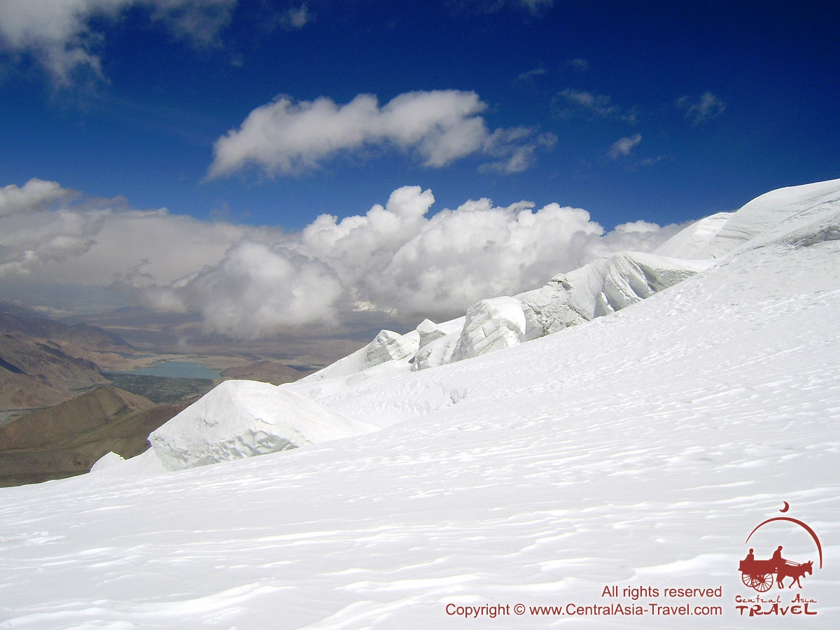
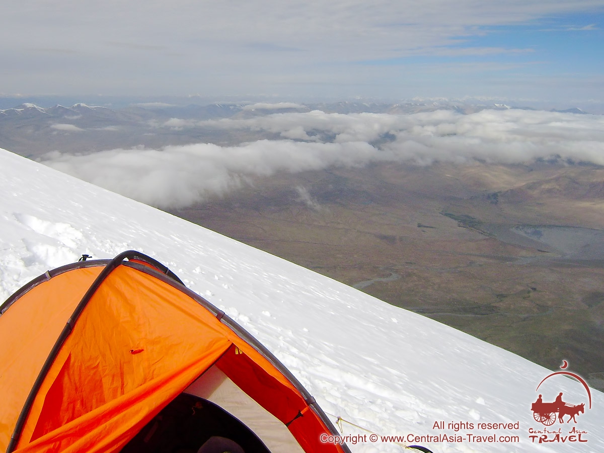
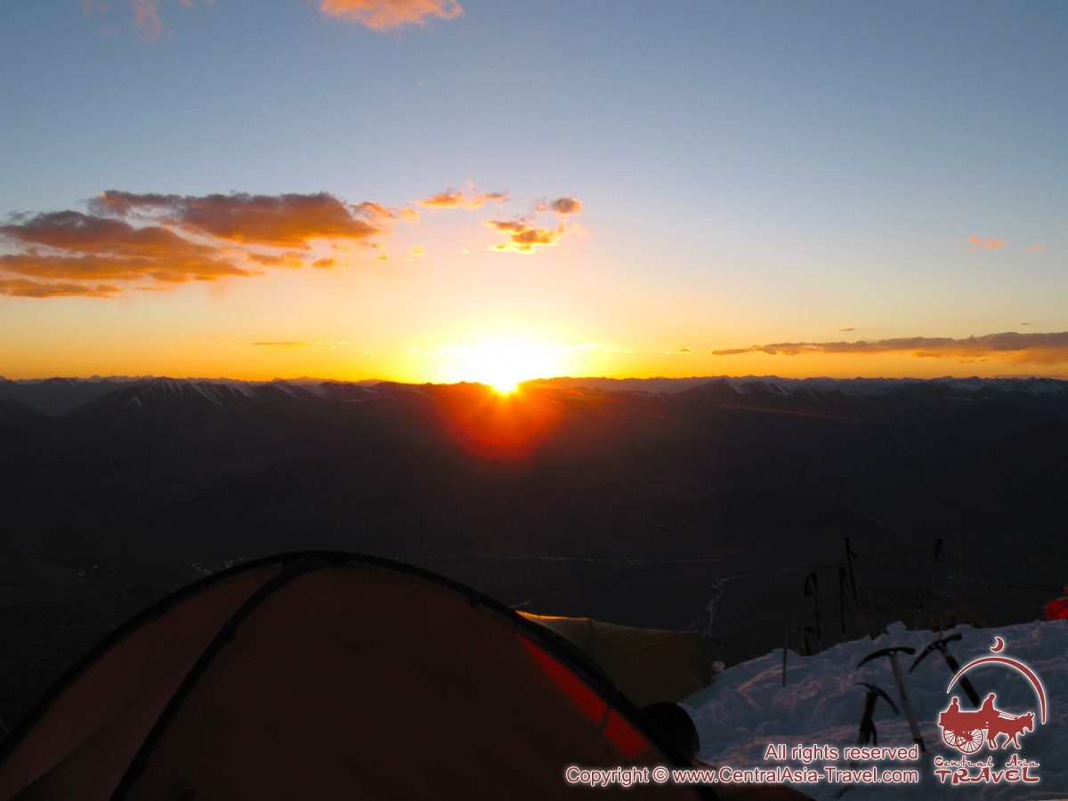
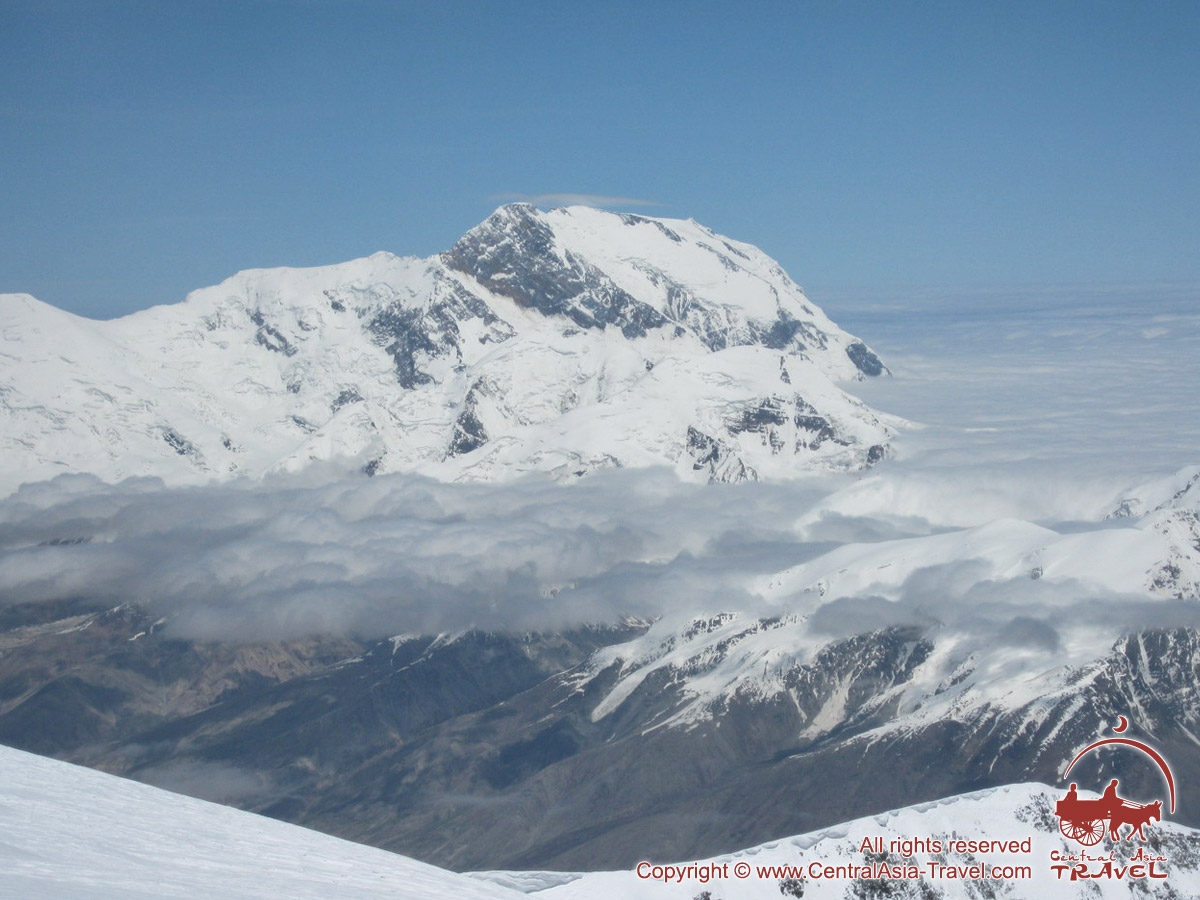
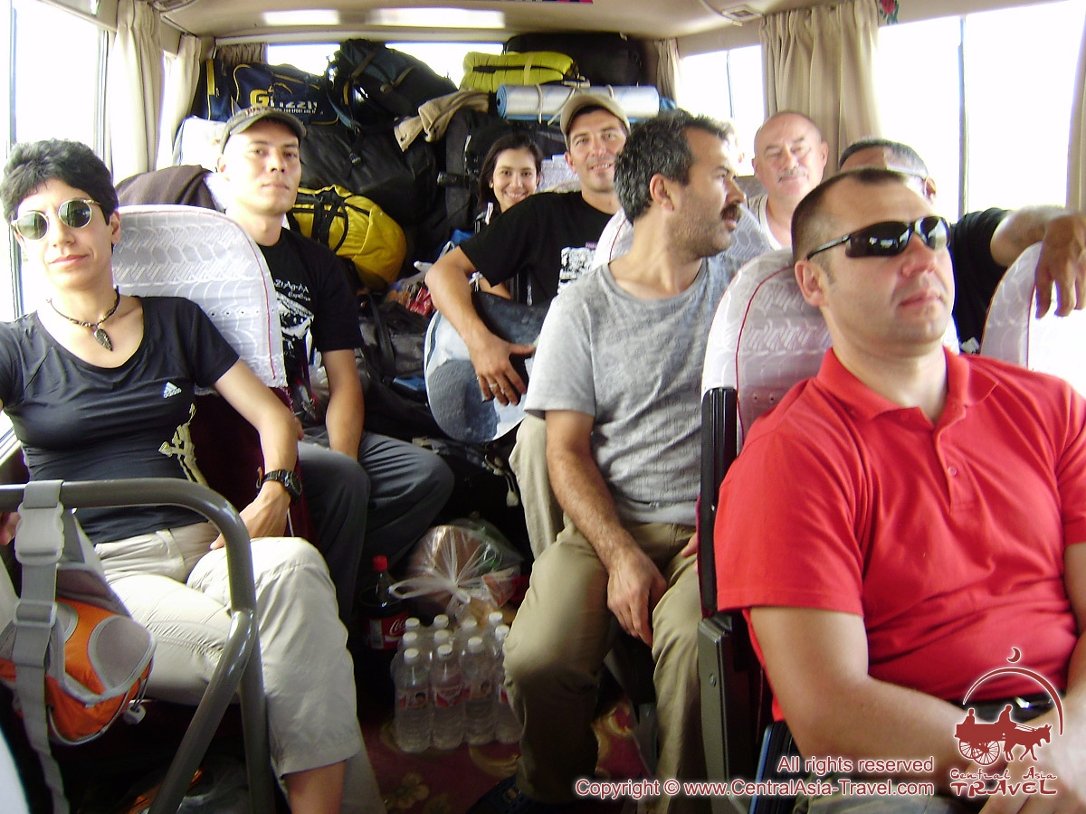
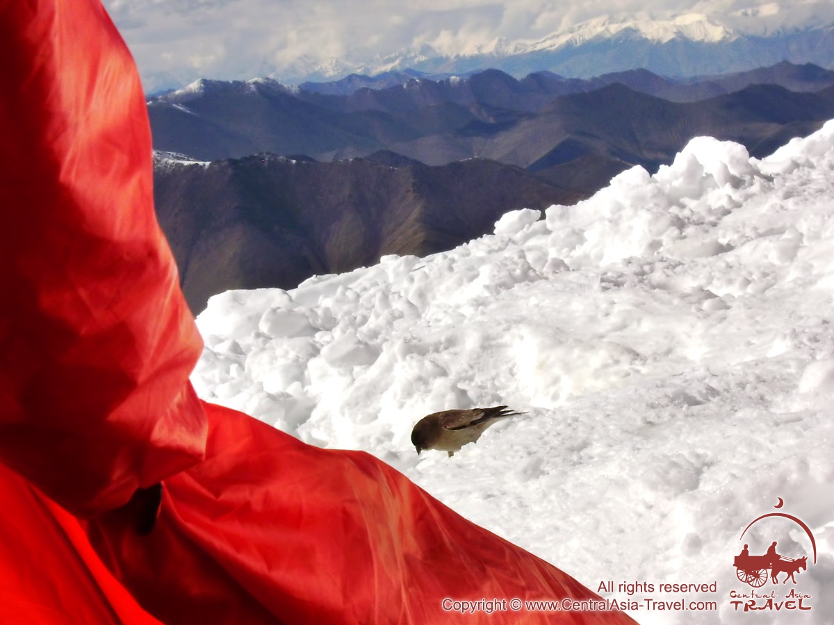
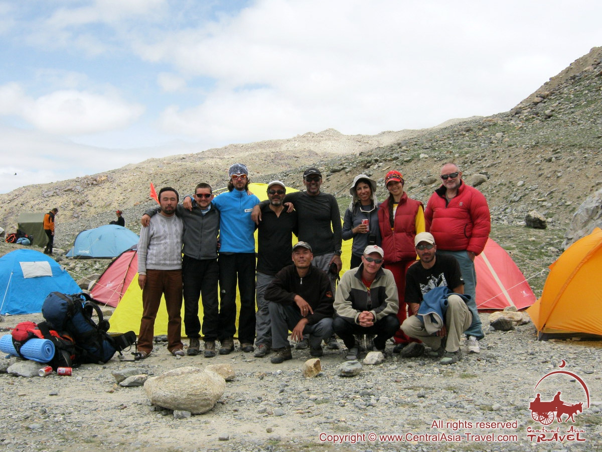
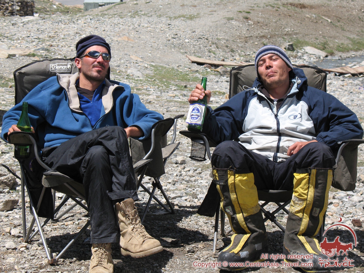
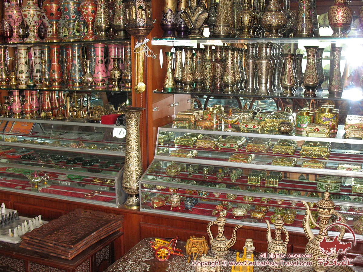
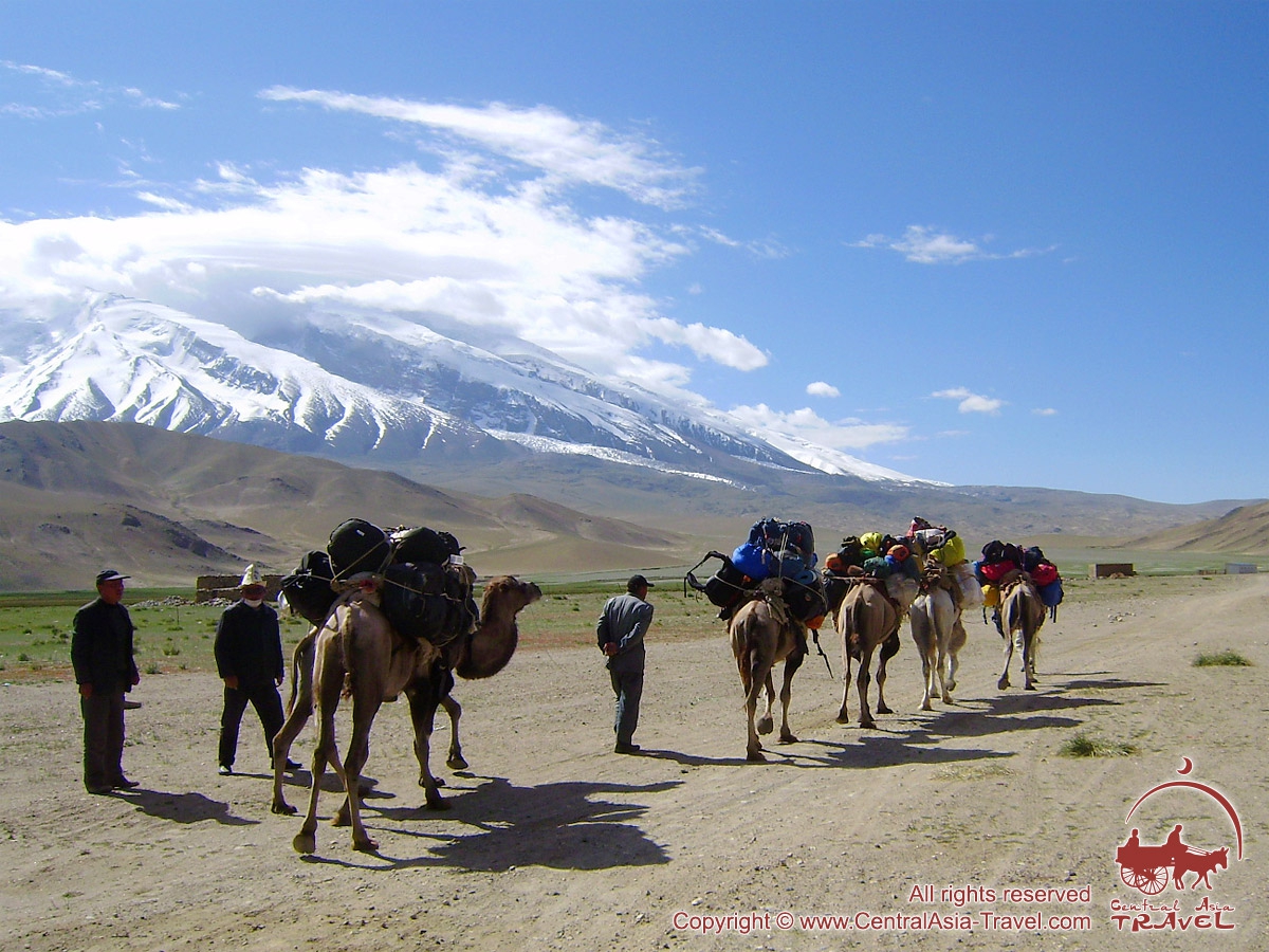
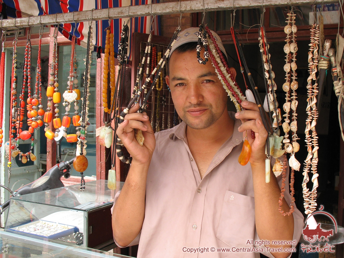
Photo of the tour «Muztagh-Ata Peak»:
 |
 |
 |
 |


see all photos of Muztagh-Ata Peak »»
Recommended heritage group tours: |
Recommended adventure group tours: |
Other interesting tours: |
Usefull links: |
Our articles about Muztag-Ata Peak 7546 m.
1. History-geographical review: Kongur-Muztagh-Ata. Part 1.
2. History-geographical review: Kongur-Muztagh-Ata. Part 2.
3. Muztag-Ata Peak. Tibetan Plateau.
TOUR ORDER
Book a guided tour
To submit the form you need to consent to the processing of personal data.


